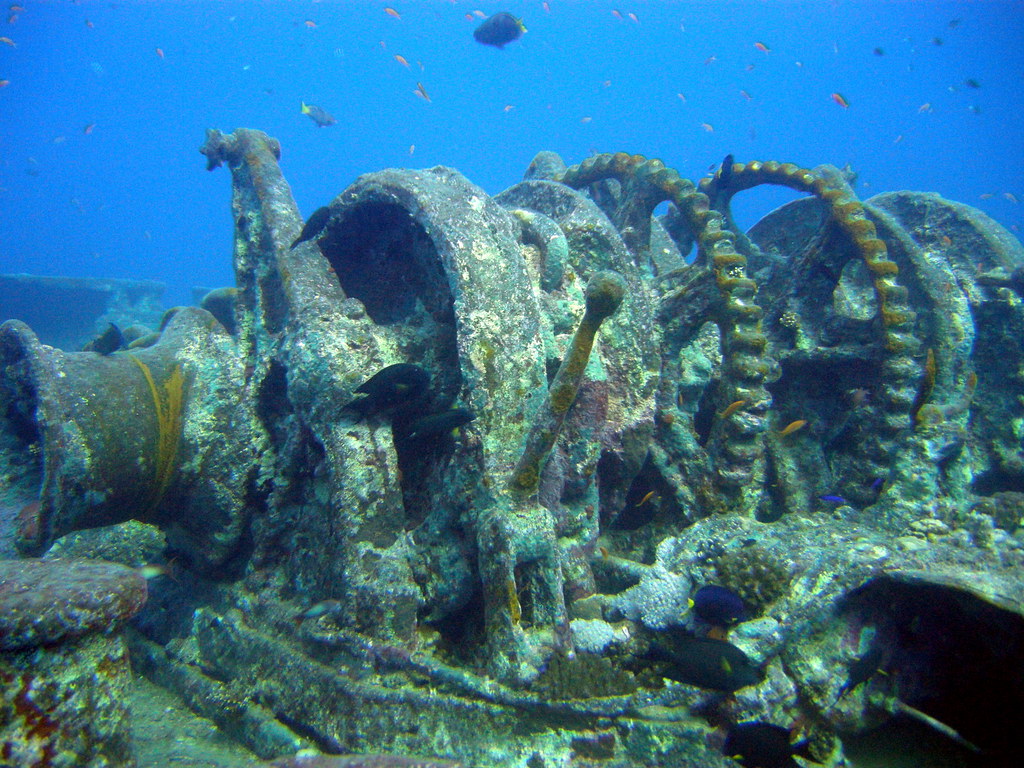
SS 시슬곰 난파선
0 m · 수면
수심을 따라 읽기
서로 다른 지형과 구역의 기록입니다. 수심순으로 읽되, 하나의 다이빙 경로를 뜻하지는 않습니다.
이후 사진·기록으로 ↓15 m주갑판(운영사 자료)
해저 약 32 m에 거의 직립; 선체 수심 범위 18~34 m(노팅엄대 조사 프로젝트), 주갑판 약 15 m(운영사)
출처 간 차이: The Thistlegorm Project(노팅엄대 등): "Depth of Wreck: 18-34m" — https://thethistlegormproject.com/thistlegorm-2017/index.html; Dive The World(운영사): "The SS Thistlegorm wreck sits upright on the seabed at 33m. To dive the bow section you can descend onto the main deck area at 15m" — https://dive-the-world.com/diving-sites-egypt-thistlegorm.php; Wikipedia: "The depth of around 30 m (100 feet) at its deepest" — https://en.wikipedia.org/wiki/SS_Thistlegorm
Chamber of Diving and Water Sports (CDWS), text by Ned Middleton ↗ · 공원·정부 기관
18–34 m선체가 놓인 수심 범위
선체 수심 범위 18~34 m
같은 출처의 전체 기록 ↑출처 간 차이: The Thistlegorm Project(노팅엄대 등): "Depth of Wreck: 18-34m" — https://thethistlegormproject.com/thistlegorm-2017/index.html; Dive The World(운영사): "The SS Thistlegorm wreck sits upright on the seabed at 33m. To dive the bow section you can descend onto the main deck area at 15m" — https://dive-the-world.com/diving-sites-egypt-thistlegorm.php; Wikipedia: "The depth of around 30 m (100 feet) at its deepest" — https://en.wikipedia.org/wiki/SS_Thistlegorm
Chamber of Diving and Water Sports (CDWS), text by Ned Middleton ↗ · 공원·정부 기관
25–26 m화물창 내부의 가장 깊은 곳
화물창은 2층 구조, 통상 2번째 다이빙에서 화물창 내부 진입(내부 최대 약 25~26 m); 1번 화물창 좌현은 붕괴로 양 층 모두 진입 불가, 3번 화물창은 어둡고 접근 곤란(석탄만 적재); 중앙 개구부 근처 유지 권고
출처 간 차이: Dive The World(운영사)는 1번 화물창으로 진입해 1→3번 화물창 관통 가능하다고 기재: "it is possible to swim through the wreck from Hold 1 to 3, using the internal interconnecting doorways at a maximum depth of 25m" — https://dive-the-world.com/diving-sites-egypt-thistlegorm.php
DAN Europe (Alert Diver) ↗ · 안전·교육 단체
32 m해저
해저 약 32 m
같은 출처의 전체 기록 ↑출처 간 차이: The Thistlegorm Project(노팅엄대 등): "Depth of Wreck: 18-34m" — https://thethistlegormproject.com/thistlegorm-2017/index.html; Dive The World(운영사): "The SS Thistlegorm wreck sits upright on the seabed at 33m. To dive the bow section you can descend onto the main deck area at 15m" — https://dive-the-world.com/diving-sites-egypt-thistlegorm.php; Wikipedia: "The depth of around 30 m (100 feet) at its deepest" — https://en.wikipedia.org/wiki/SS_Thistlegorm
Chamber of Diving and Water Sports (CDWS), text by Ned Middleton ↗ · 공원·정부 기관
- 함께 볼 포인트
- 난파선 · 25곳 보기 →
- 수록 사진
- 11장
촬영·장소 정보
출처로 확인한 관찰 4
생물 도감 사진입니다. 이 포인트에서 촬영된 사진과 구분합니다.
 관찰자가 입력한 장소명에 사이트명이 있는 2000년 이후 기록 4건, 실명 독립 관찰자 2명(GBIF ±15 km 상자, 2026-11-18 조회). 대표 기록만 링크.
- 사이트 관찰Platax orbicularis관찰자가 입력한 장소명에 사이트명이 있는 2000년 이후 기록 6건, 실명 독립 관찰자 5명(GBIF ±15 km 상자, 2026-11-18 조회). 대표 기록만 링크.
- 사이트 관찰Heniochus intermedius관찰자 입력 좌표가 기준점에서 약 0.06 km. 2022-10-04 관찰. 사진이 포인트 갤러리에 수록됨. 동정은 iNaturalist 연구등급 기준이며 따로 검증하지 않음.
- 사이트 관찰Pempheris tominagai관찰자 입력 좌표가 기준점에서 약 0.06 km. 2015-04-16 관찰. 사진이 포인트 갤러리에 수록됨. 동정은 iNaturalist 연구등급 기준이며 따로 검증하지 않음.
포인트 정보 2
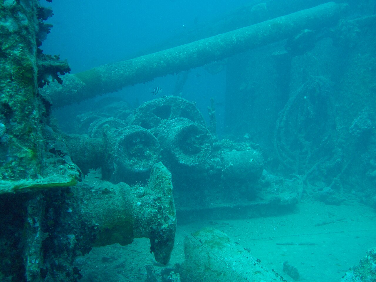
- 난파선SS Thistlegorm · 영국 화물 증기선 · 건조 1940, 선덜랜드(J.L. Thompson and Sons) · 침몰 1941-10-06 · 독일 폭격기 공습 · 길이 126.5m · 화물: 베드퍼드 트럭, 유니버설 캐리어 장갑차, 노턴 16H·BSA 오토바이, 브렌 경기관총, 탄약, 소총, 무전 장비, 항공기 부품, 화차, 증기기관차 2량(폭발로 선체 양옆에 떨어져 있음)
- 조류강하고 변동이 큰 조류(수 시간 내 방향 180° 전환 가능), 구발 해협의 강풍·조석류 영향; 하강·상승 시 하강줄 사용 필수
DAN Europe (Alert Diver) (새 창) · 안전·교육 단체
요금과 규정은 바뀔 수 있습니다. 방문 전 현지에서 확인하세요.
좌표 27.8141, 33.9201 · 지도 보기 (새 창)
이름·좌표 근거
SS Thistlegorm
두 출처 일치(0.01 km): OSM 난파선 노드와 WikidataOpenStreetMap node/255316037 "SS Thistlegorm (historic=wreck)" (새 창)